Buckley Street and Camp Road level crossings to be fast-tracked
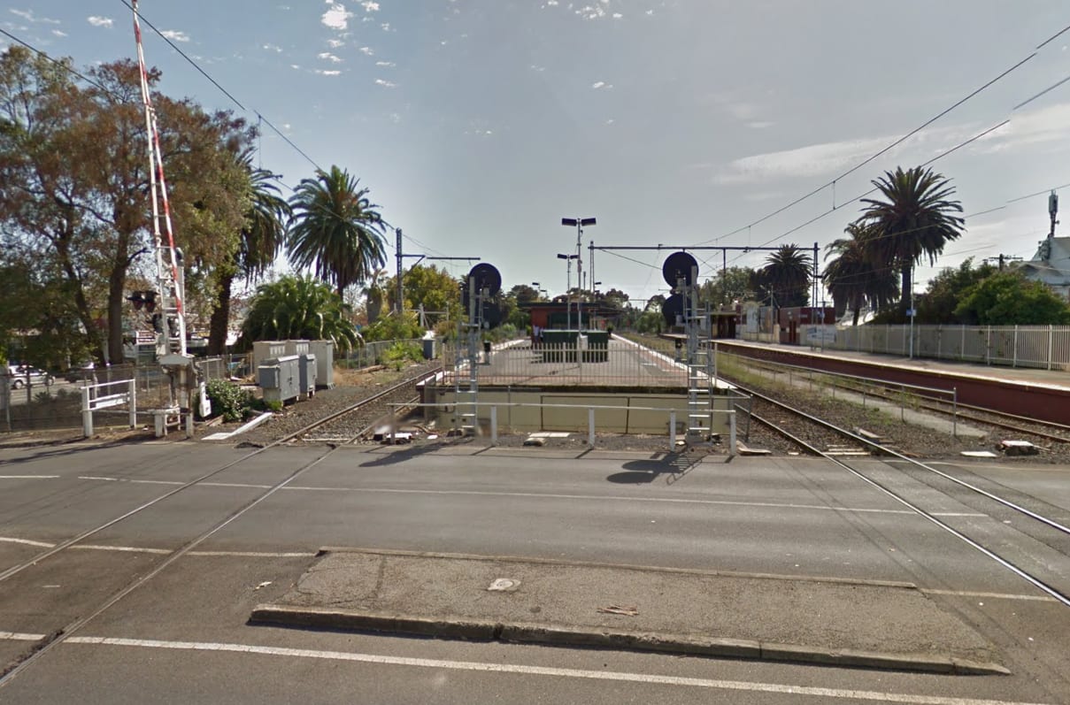
One day after the Port of Melbourne lease announcement, the Victorian Government has brought forward 11 level crossing removals, two of which - Buckley Street in Essendon and Camp Road in Campbellfield - will be fast-tracked with work commencing next year and complete by 2019.
The 11 level crossings have been split into two packages with both now out to tender.
The "North Western" package has five sites. As well as the two fast-tracked projects, the package includes Glenroy Road in Glenroy, Bell Street in Coburg and Moreland Road in Brunswick.
The "Western" package of level crossing removal sites includes Koroit Creek Road in the industrial area of Williamstown North - as well as the partial duplication of the Altona loop - Aviation Road in Laverton, Ferguson Street in Williamstown (site of Williamstown North station), Cherry and Werribee Streets in Werribee and the south-eastern anomaly Abbots Road in Dandenong South.
Construction on the Koroit Creek Road level crossing removal and Altona loop partial duplication will begin next year.
Comment
I'm loath to use the term "sky rail" however with Bell Street in Coburg and Moreland Road in Brunswick is there an opportunity to take an axe to the mind-bogglingly high number of level crossings between Park Street and Bell Street, with one fell swoop?
The primary benefit of elevating rail lines is that space, once occupied by rail track, is turned over to other public uses. Brunswick and Coburg see some of the highest rates of cycling in the city yet the Upfield bike path is routinely called out as inadequate and congested with both cyclists and pedestrians sharing the same space.
While the Upfield line is not the busiest line on the network, things appear to be changing with this year's budget having funds to reconnect the end of the Upfield line to the Craigieburn line thus creating a path for regional (and freight) trains.
Bell Street to Park Street measures roughly 4-5km, has five stations and a whopping 12 level crossings (it used to have more). The density of crossings is highest at the southern end in Brunswick, which just so happens to be the area which will see the highest population growth based on development project pipeline data on the Urban.com.au project database.
Calling all Brunswick and Coburg residents: should this entire stretch be elevated in one go so that a) there's better rail infrastructure for increased services, b) better cycling infrastructure and c) more public space?
